- HOME
- R&D Activities
- Commercialize integrated information provision functions incorporating aerial roads
R&D Activities
Commercialize integrated information provision functions incorporating aerial roads
| Participants | ZENRIN CO., LTD |
|---|---|
| Contract Type | Subsidy |
| Overview | Objective・ Establish of specification design/operation method for map information necessary for traffic management system.
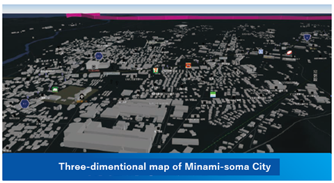
Outline・ The information provision function completed so far in the development of the basic function is the information specification which incorporates all the requirements of the integrated traffic management function and the flight control function, and it is in the over-capacity condition. Therefore, we will study specifications that can be adapted to the information specifications according to regional characteristics, flight mode of unmanned aircrafts, and usage, and that can withstand national data development/operation. ・ In the Fukushima Robotic Test Field Wide Flight Area in FY2019, a dedicated flight route for medium-to long-distance unmanned aircrafts was designed and flight demonstrations were conducted in some areas. Based on this, specifications and operation methods for unmanned aircraft routes will be designed as a Sky Network, and maintenance will be started in some areas. ・ Strongly promote international standardization of data models for geospatial information for unmanned aircrafts.
Relevant AchievementJune 2019: Information provision function API released to the public
|